Paint Branch Trail starts near College Park Airport, curls past Lake Artemesia, traverses one side of the University of Maryland campus, skirts soccer fields and a golf course and driving range, winds through a tornado-devastated zone, and terminates about 3.75 miles upstream near the intersection of US Route 1 and the Capital Beltway (I-95).
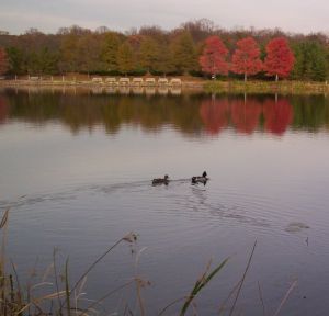
Ducks and other aquatic creatures frequent lovely Lake Artemesia; this view is from Paint Branch Trail on the southern side of the lake loop trail.
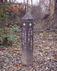
Paint Branch Trail begins at the end of Northeast Branch Trail and the starting point of Indian Creek Trail, just north of the College Park Airport.
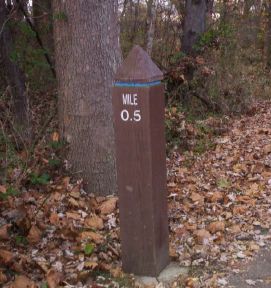
After curving along the southern edge of Lake Artemesia, Paint Branch Trail dives under Metro and B&O railroad tracks, then parallels them to run toward the playgrounds of Paint Branch Elementary school.
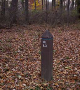
The trail crawls through the woods, passes close to a pedestrian bridge leading to Paint Branch Parkway, and runs through Paint Branch Park toward busy US Route 1, aka Baltimore Avenue.
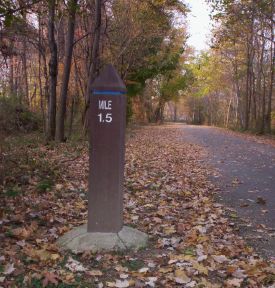
After following the sidewalk on the east side of US Route 1 to cross over the creek, Paint Branch Trail spirals down to a tunnel under that road and emerges inside the University of Maryland campus. Milepost 1.5 is located just behind a complex of engineering buildings.
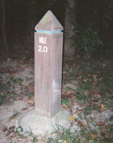
Zig-zagging across pedestrian bridges between UM parking lots and apartment buildings, Paint Branch Trail curves through woods to reach a dog park and soccer fields near Milepost 2.0, just south of the beginning of Metzerott Road.
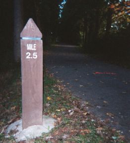
The trail curves through one side of Acredale Park, dives under University Blvd, and emerges to angle around the south side of Paint Branch Golf Course's driving range. Milepost 2.5 is near the corner where the trail turns sharply north to run beside wetlands, ponds, and swamps frequented by a variety of wildlife.
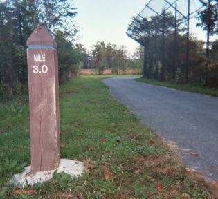
As the trail zig-zags around the north end of the golf course it follows the edge of agricultural research fields and crosses multiple small bridges.
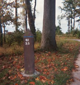
Paint Branch Trail next passes through a section of Cherry Hill Neighborhood Park which was badly damaged by the tornado of 24 September 2001.
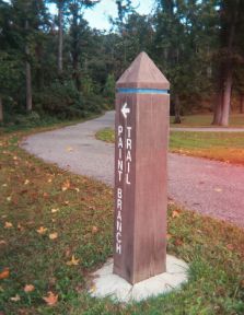
Paint Branch Trail continues north to cross Cherry Hill Road (danger!) and comes to an end just inside the Capital Beltway at Cherry Hill Road Park near tennis courts and shopping malls.
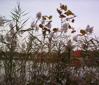
Lake Artemesia in the autumn is surrounded by wildflowers and wetland foliage. This view is from Paint Branch Trail on the southern side of the lake loop trail.
(see DC Metro Area Trails: GPS Waypoints; cf. RockCreekTrail (31 May 2002), GoogleMapExperiments (11 Sep 2005), Rock Creek Trail Miles 0 to 4 (26 Sep 2005), Rock Creek Trail Miles 5 to 9 (16 Jan 2006), ...)
(correlates: Northeast Branch Trail, 2007-09-19 - Paint Branch Trot, Rock Creek Trail Miles 5 to 9, ...)